February 10, 2020
American Seafoods Shows Where We Fish with Interactive Map
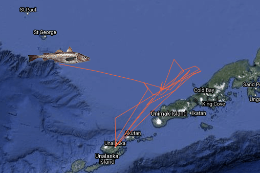
When we tell people we fish in the Bering Sea and North Pacific Ocean, not everyone can point to it on a map. So we wanted to show you exactly where we catch our fish. To do this we made an interactive map, using location data from our boats in 2018.
Pick a date, and we'll show you what path our boats took on its journey to find fish, ending on the location of our catch that day. Try it out here.
Why would we make this map? It's all about transparency.
Seafood lovers want to know where their fish comes from, and for good reason! It's important to buy seafood that comes from certified sustainable fisheries. Doing so means the fish are caught in a manner that follows rules set by regulators and scientists, based on the species’ population in that fishery and the surrounding ecosystem.
We wanted to raise the bar on transparency by putting it all on a map. If you purchase Wild Alaska Pollock or Wild Pacific Hake products from American Seafoods, you know these are the areas where we'll find your fish.
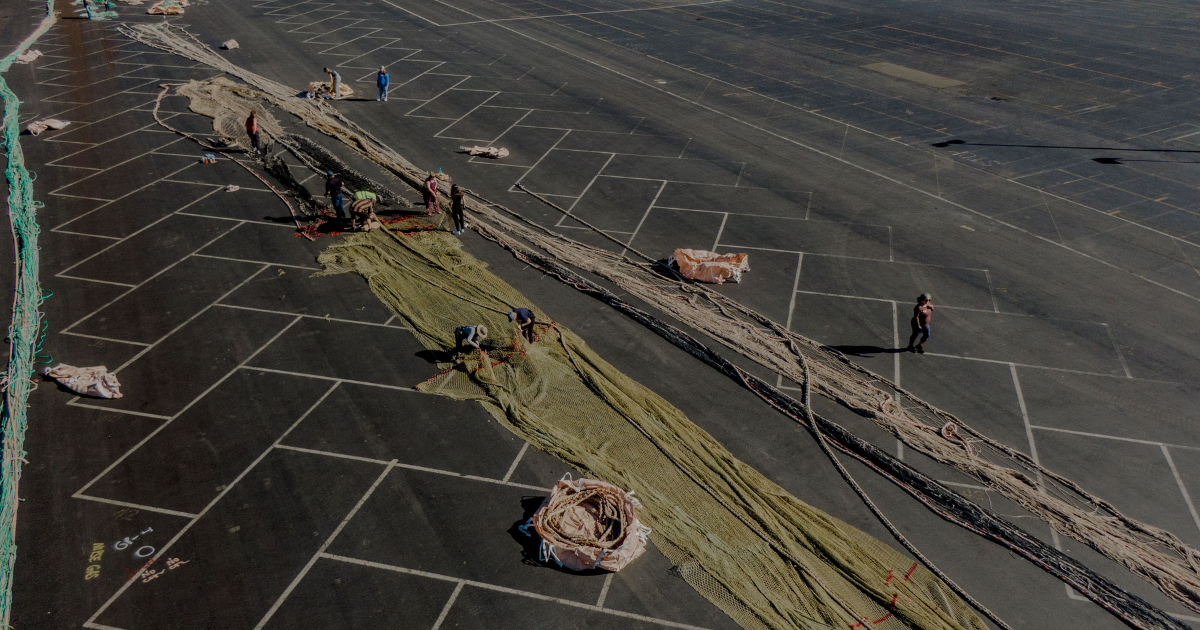
Of course, this is only the beginning of the supply chain. We stick production codes on each shipping package, including details about the vessel, processing date and time, and plant shift. Then we track it across our worldwide distribution network, using carefully selected logistic partners to ship our products around the world.
Want to learn more about traceability? Keep reading.